|
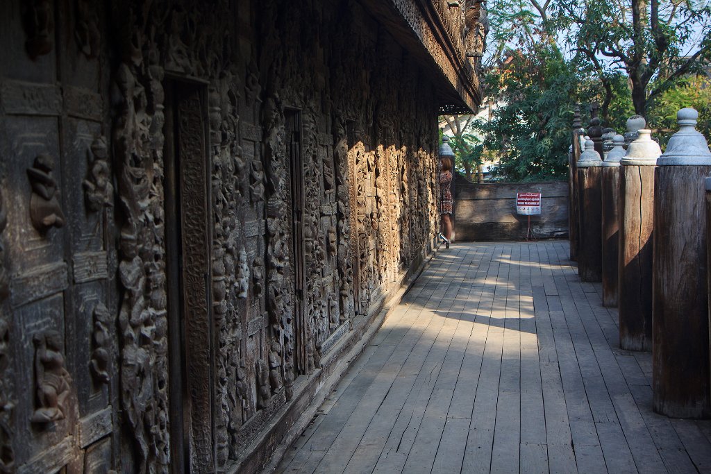 |
| 47-Shwenandaw Kyaung | |
| Latitude: N 22°0'2,08" | Longitude: E 96°6'49,26" | Altitude: 85 metres | Location: Ashebyin | State/Province: Mandalay | Country: Myanmar | Copyright: Ron Harkink | See map | |
| Total images: 64 | Help | |
|
|
|
| 47-Shwenandaw Kyaung | |
| Latitude: N 22°0'2,08" | Longitude: E 96°6'49,26" | Altitude: 85 metres | Location: Ashebyin | State/Province: Mandalay | Country: Myanmar | Copyright: Ron Harkink | See map | |
| Total images: 64 | Help | |